top of page


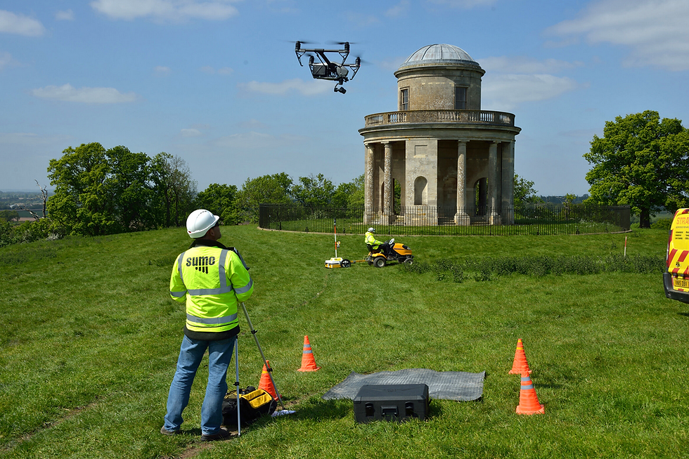

Aerial Surveys


Photogrammetry, 3D models, Geospatial data (orthophotographs and DEMs), photography and video outputs available
SUMO Aerial Surveys


Survey deliverables include:

3D
Models

Line
Drawings

DEMs (Digital Elevation Models

Orthographic Elevations

Historic Buildings Reports

Orthophotos

Interpretive Reports

Stone-by-Stone Illustrations
"I have used SUMO’s geophysical survey services for many years, and more recently I have started also using their UAS Multispectral survey with great results on archaeological projects. SUMO have always provided a high quality and good value service, responding promptly to any and all requests. I hope we continue to work together as technology evolves and SUMO continues to develop its service line to match".
Susana at RPS


FREE SURVEY QUOTATION
Receive a FREE Survey quotation from one of our survey engineers?
Chat through any requirements you need, including site survey, survey methodologies and detail requirements.
-
Speed from 1st enquiry to quotation
-
Delivering survey data that is clear & accurate
-
Top quality full-colour survey drawings
-
Post-survey support & complaint resolution
-
Maintaining professional accreditations
-
Availability on site to meet your requirements
-
Detailed post-survey explanation of survey results
-
Competitive pricing providing real value for money
bottom of page