


Drone thermography is an unrivalled method for inspecting solar farm arrays to identify faults in the photovoltaic cells, and target panels for repairs. This technique forms an integral part of a wider maintenance programme, ensuring that solar farms across the country are able to function at their optimal capacity.
Above: Drone Thermographic Solar Farm Survey in action.
Thermographic Methodology
A drone is flown across each solar array at low-altitude, recording sequential thermal video and standard RGB video. Each frame can be analysed by an independent thermographer to identify hot and cold spots in the cells which indicate faults in the panels, likely impacting the efficiency of the solar farm.
Various colour palettes can be applied to the thermographic video, and the temperature parameters can be adjusted to help isolate anomalies in the solar panels.

Above: Solar farm awaiting a drone inspection.
In addition to the thermographic video, standard RGB video and site photos are captured. This provides essential information regarding the conditions of the panels and site on the day of the survey.
The RGB video supports the thermographic data by offering a visual of the surface of the panels which, from the thermal data only, may easily be misconstrued. Bird droppings, for example, may appear as anomalous features in the thermographic dataset and, while impacting the efficiency of the cells and posing a long-term risk of damage, may require a simple cleanup rather than technical repairs to the hardware.
The combined thermographic and RGB datasets will contribute to a report, detailing which cells require maintenance.

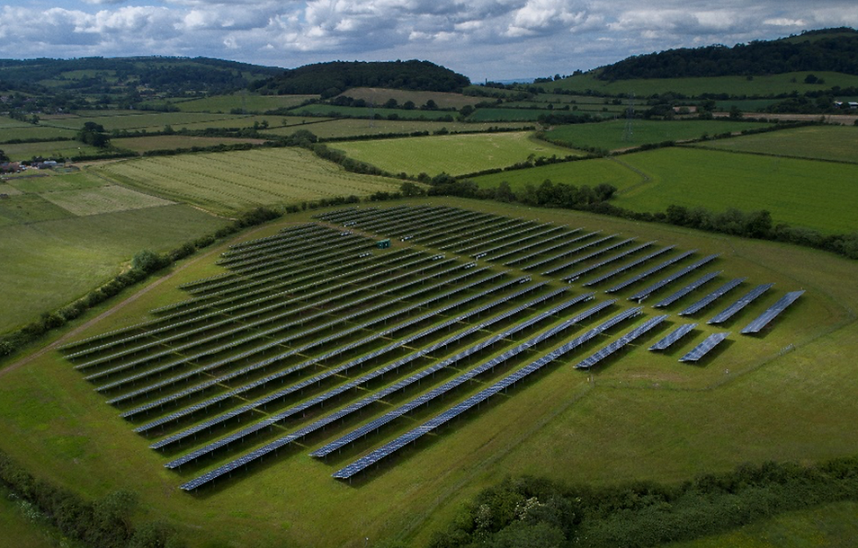
Above: Site photo of a largescale solar farm.
The survey is carried out between April and October when solar irradiance is at a suitably high level. A solar irradiance monitor is used prior to and following each flight, and the reading is documented in the flight record.

Above: A frame captured from the sequential thermal video with several hotspots identified.
Drone Capabilities
With the capacity to survey largescale solar farms in considerably short time, a drone thermographic survey is a highly efficient and cost-effective approach within that solar farm’s maintenance programme.
Above: Small solar farm following a UAS thermographic survey.


Solar Farm Survey FAQ's


Aerial Surveys

Aerial
Survey

Landscape
Survey

Thermal
Surveys

Aerial Topographic
Surveys

Multispectral Survey

Volumetric
Surveys

Archaeological Survey

Renewable
Survey

Water Leak Detection

Asset
Inspection

Roof
Inspection

Building
Recording

School
Surveys

Internal Photogrammetry
