Geophysical Surveys For Civil Engineering
- Sep 4, 2018
- 2 min read
Updated: Jan 31, 2024
The possible application of geophysical techniques is vast. In our experience however, it is generally thought that geophysics is reserved for application to heritage sites or areas containing archaeology only.
However, there is a much wider use for these techniques including Civil Engineering, as detailed below.

Above: SUMO Geophysics Director Dr John Gater holding a geophysical magnetometer.
So, what does 'Geophysics' mean?
In their book Revealing the Buried Past; Geophysics for Archaeologists by Chris Gaffney and SUMO Director John Gater, the authors suggest the following:
“The examination of the Earth's physical properties using non-invasive ground survey techniques to reveal buried archaeological features, sites and landscapes.”
The Oxford English Dictionary simply defines the term Geophysics as “The physics of the earth”, a much simpler explanation!
Archaeological geophysics has become a specialist subject in its own right, but nearly all of the techniques used in archaeology have actually been borrowed from geological or exploration geophysics. In some cases, it is only the implementation that has been radically changed.
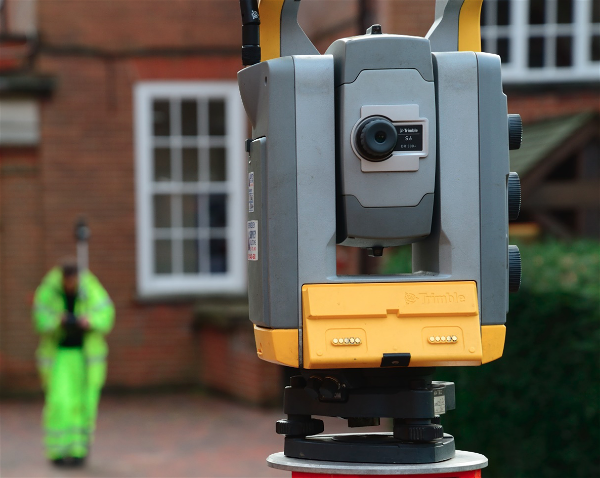
What equipment is used?
The types of instruments that are used can be classified in a number of ways. For example, some need to be inserted into the ground, others simply require contact with the ground while some of the instruments are carried above the surface. However, the most important difference between the techniques is whether or not they introduce an external phenomenon or if they measure what is there directly: they are termed 'active' and 'passive' respectively.

Above: A list of geophysical techniques used for locating, delimiting and investigating archaeological sites.
How can Geophysics be used for Civil Engineering?
Just as geophysical techniques can discover hidden Archaeological features, they can also identify a range of features typically found on engineering sites and the process of surveying an engineering site is very similar and often uses the same equipment.
Although the techniques in the table above are used widely in Civil Engineering, those techniques in the bottom half are used equally as much as those at the top. This is because the targets are different:
Rebar
Voids
Buried obstructions
Clay Pipes
Drains
Badger setts
Metal pipes
Cables such as mains electricity or internet cables