The Solar Series... Topographical Surveys
- Mar 11, 2024
- 2 min read
Updated: May 15, 2024
This is the first blog topic in our solar series and explores SUMO’s topographical capabilities and how this benefits a solar scheme.

SUMO combines traditional topographic surveys with cost effective and accurate UAS (drone) topography to produce drawings and 3D outputs. This collaborative approach allows for large landscapes (including those which are inaccessible on foot) to be surveyed much more efficiently and in considerably less time than traditional methods, thereby also saving on cost.
UAS surveys have the capacity to map 100+ hectares in a single day, providing a highly effective and efficient method for recording topographic landscapes.

Above left – SUMO has an array of drones for different sites and conditions.
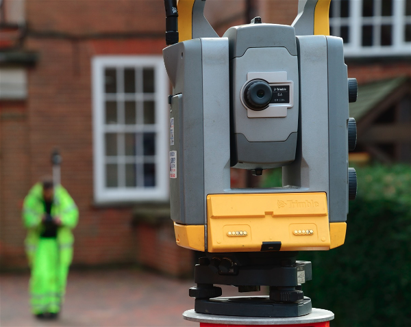
Above right – a traditional topographic survey set up.
How does it work?
Ground control points are established around the site and recorded to OS coordinates with a GPS. Following this, a UAS with a gimbal-mounted camera is flown in an automated grid over the site, capturing photos at regular intervals from an altitude between 50 and 120m. The photos are then processed using photogrammetry software to produce a georeferenced orthophoto with a ground sampling distance of between 1 and 3 cm/pixel. The georeferencing aims to be within an error of 5cm, though is typically below 3cm.
Outputs include a high-density, georeferenced point cloud which can be amalgamated with terrestrial data, Digital Elevation Models (DEM), orthorectified photos, and 3D models. The combined datasets can be drawn in CAD.

Above: Orthophoto of a 110 hectare site.
The survey will provide a full and comprehensive topographic survey where our surveyors aim to map all accessible features visible above ground. This includes basic site features such as existing buildings, walls, fences, surface changes, vegetation, tree positions and utility service covers.

Above: CAD drawing combining UAS and terrestrial topographic survey data over a large solar farm.
So, next time you need a topographic survey, why not consider commissioning a combined traditional topographic survey and UAS (drone) survey to capture higher resolution data, whilst maintaining the best levels of accuracy, in an efficient and cost-effective timeframe?