


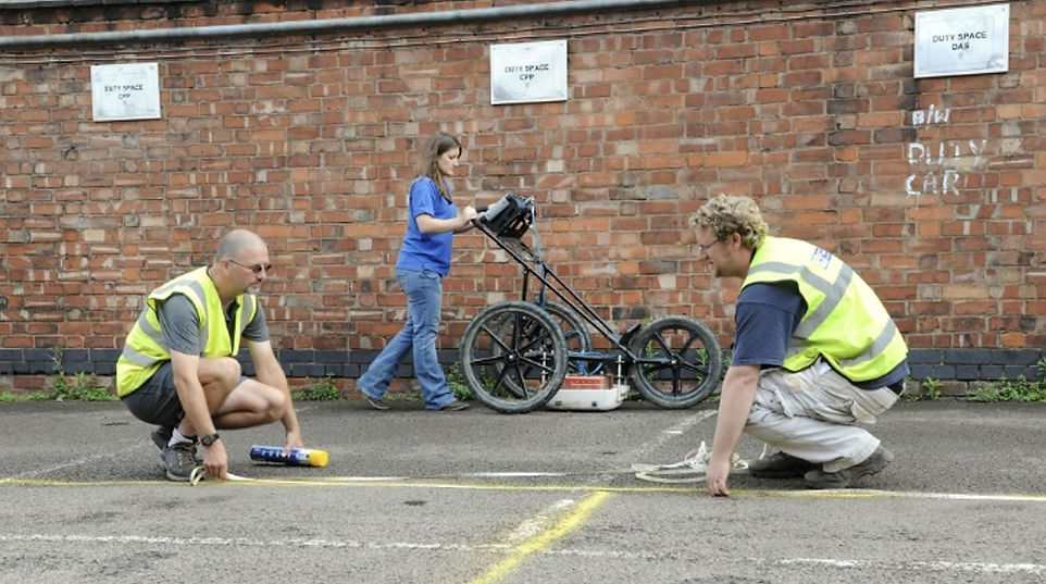
Using the state-of-the-art geophysics survey technology, including ground penetrating radar and magnetometry, a SUMO Geophysics survey can locate a range of underground anomalies throughout urban and Brownfield sites.

Compared to other sites such as rural and historic areas, evaluations undertaken in towns, cities and other urban regions make different demands on archaeological prospection. Depths of deposits are often more considerable; the stratigraphy is complex, and the surface conditions can be challenging. While magnetometry can still be used on specific locations, ground penetrating radar is the most favoured technique as it can provide both plan and depth information.
What can I expect a SUMO geophysics survey to detect?
While our geophysics technology can locate a range of anomalies typically associated with urban and brownfield areas such as utilities, underground infrastructure, voids and other engineering-related features; from an archaeological perspective, the technique can also identify: -
-
Historic building foundations
-
Industrial archaeological features like kilns
-
Town ditches and walls
-
Former road surfaces
What are the benefits of a SUMO Geophysics Survey?
Reduced risks
As a non-intrusive method of surveying, potential archaeology can be located without the need for ground excavation, which may result in damage to existing infrastructure. Thus, both time and budgets can be reduced.
High-quality data and reporting
SUMO Geophysics is a Registered Organisation with the Chartered Institute for Archaeologists (CIfA). All our surveys are carried out to the CIfA and the English Heritage professional guidelines as a minimum standard.
Rapid results
Our team of experienced field surveyors and data interpreters have a proven track record of working to tight deadlines while maintaining the highest standards of geophysical surveying and reporting.

INTERESTING FACT
Did you know that members of SUMO GeoSurveys completed survey work which lead to the discovery of Richard III?

What deliverable can I expect from SUMO?
SUMO will provide you with georeferenced data images, fully interoperated drawings in AutoCAD or GIS format and a written technical report as a standard. Speak to a member of our Geophysics team if you have further questions related to your deliverable.


Archaeological Surveys

Historic Buildings

Rural & Greenfield

Urban & Brownfield
"We used SUMO for a geophysical survey at a site in Wiltshire and were very impressed with their efficiency and communication. They were very responsive and completed the site visit and report within 2 weeks of instruction. Many thanks for the service"
David Josephs
Strategic Land Manager, Hollins Strategic Land
