


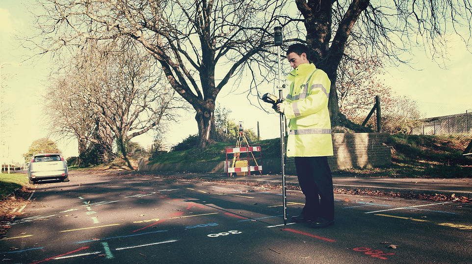
A utility detection survey is a crucial process used to locate and identify underground utilities and infrastructure before any excavation or construction work begins.
It is a multi-faceted survey approach that can be tailored to your needs and typical features detected by a Utility Survey include:
-
Metal pipes
-
Plastic pipes
-
Clay Drainage systems
-
Electricity cables (both Low and High voltage).
-
Data Cables
-
Fibre optic cables, and more…
Here’s an overview:
Purpose: The primary goal of a utility detection survey is to accurately pinpoint the location, depth, and type of buried utilities to prevent damage, accidents, and service disruptions during construction or excavation projects.
Methods:
Generally, these are used in conjunction to get the most comprehensive and accurate data possible.
-
Ground-Penetrating Radar (GPR): Uses radar waves to detect subsurface objects and create a visual representation of underground utilities.
-
Electromagnetic Induction: Utilises electromagnetic fields to identify conductive materials like metal pipes and cables.
-
Radio Frequency (RF) Detection: Detects utilities that emit radio frequency signals, such as those in telecommunication lines.
Benefits:
-
Safety: Minimises the risk of accidental utility damage, ensuring the safety of workers and the public.
-
Cost Savings: Helps avoid costly repairs, delays, and fines associated with utility strikes.
-
Project Efficiency: Provides accurate utility information for precise project planning and design.
-
Environmental Protection: Reduces the potential for environmental hazards caused by utility damage.
Applications:
-
Construction: Ensures safe excavation and trenching, reducing project delays and costs.
-
Urban Planning: Supports infrastructure development and maintenance, preventing service disruptions.
-
Emergency Response: Provides vital utility information during emergency situations.
-
Environmental Assessments: Helps assess the impact of utilities on ecosystems.

Accuracy:
Utility detection surveys aim for high precision to ensure the reliability of the collected data.
Regulations:
Compliance with local regulations and standards is essential to ensure safety and the effectiveness of utility detection surveys.
Overall, utility detection surveys are a crucial step in any construction or excavation project, helping to mitigate risks, protect resources, and ensure the smooth and safe progress of work in urban and rural environments.
Utility detection surveys and utility mapping surveys are related, but serve different purposes in the context of construction and infrastructure projects.
Utility Surveys

PAS 128 Utility Survey

Statutory Plan Collation

Utility Detection
& Mapping


SURVEY QUOTATION
Upgrade your SUMO survey to include Statutory Records Search!
The SUMO Survey does not include a Statutory Records Search. Please ask a member of the team, and we would be happy to upgrade your service to include this.
Upgrade to include a full Topographic Survey
The SUMO Survey includes basic topographic features as a standard. However, if you are looking to get a detailed understanding of the nature of your site, we can offer you an easy upgrade to include full topographic information.
We can include street names, building names and house numbers to assist in the site location.
The additional information collected by upgrading to a full topographic survey includes:
-
Inspection chambers
-
Valve boxes
-
Telegraph poles
-
All building lines
-
Fence and kerb lines
-
Street furniture
Call 0845 456 1104 today!
Case Studies
We think you may be interested in reading our clients case studies.

Topographic Land Survey
